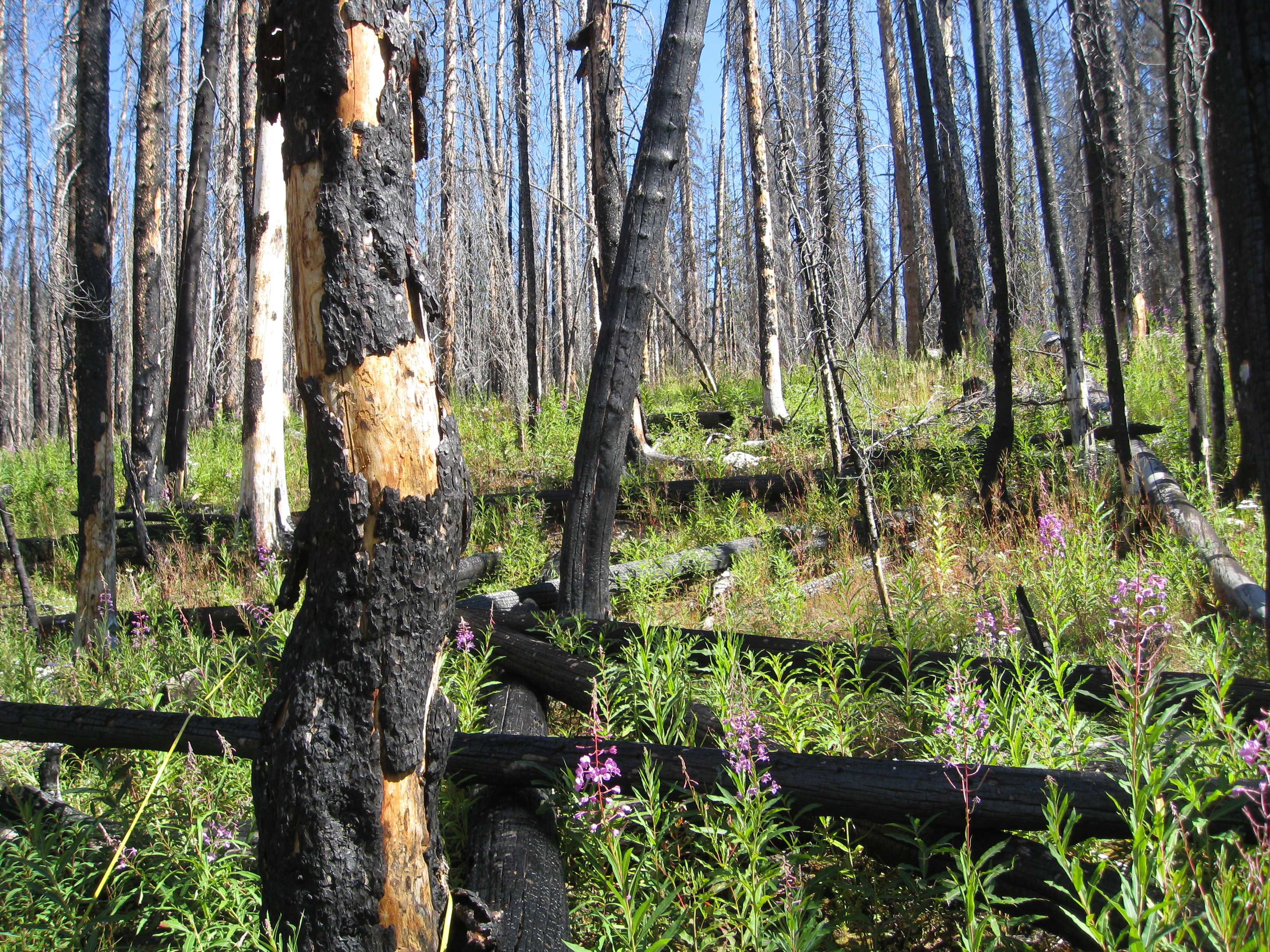
Landscape-scale maps of vegetation structure and fuels can support management decisions but are lacking for most landscapes. Researchers used remotely sensed data (LiDAR, aerial imagery) and a vegetation map coupled with field data to map canopy and surface fuels in Grand Teton National Park (GRTE) forests and shrublands. Models performed well, predicting continuous fuel loads and surface fire behavior fuel models with reasonable accuracy. They then used the fuels map to compare fuel loads in treated vs. untreated areas and to test relationships between fuels and fire severity in the 2016 Berry Fire, the largest fire in GRTE history. The Berry Fire is a case study of what might be increasingly common under expected changes in fire activity: 43% of the fire perimeter reburned young, subalpine forest recovering from previous fire. View this webinar to learn how researchers fused multiple data sources to map fuels across a large forested landscape and to explore fuels and fire severity in a subalpine forest reburn.
Recording(s)
Event Details
Feb 9 2021, 10 - 11am
Contact(s)
Signe Leirfallom
signe.leirfallom@umontana.edu