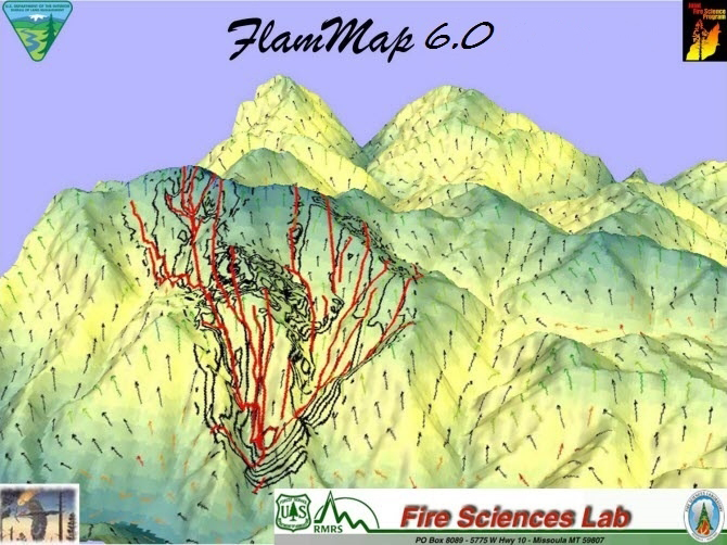
This webinar provided an introduction and overview of the FlamMap modeling system and its capabilities. FlamMap is a fire analysis desktop application that runs in a 64-bit Windows Operating System environment. The FlamMap fire mapping and analysis system (Finney 2006) describes potential fire behavior (spread rate, flame length, fireline intensity, etc.), fire growth and spread and conditional burn probabilities under constant environmental conditions (weather and fuel moisture). Dead fuel moisture and conditioning of dead fuels in each pixel is based on slope, shading, elevation, aspect, and weather. With the inclusion of FARSITE it can now compute wildfire growth and behavior for longer time periods under heterogeneous conditions of terrain, fuels, fuel moistures and weather.
With the release of FlamMap6 information from completed fire behavior runs (BASIC, STFB, NTFB) from the Wildland Fire Decision Support System (WFDSS) and the Interagency Fuels Treatment Decision Support System (IFTDSS) can be imported directly into FlamMap6 to setup runs. Additionally, a landscape editing tool has been added, the ability to project geospatial data layers, and a full set of tutorials within the Help System to facilitate learning to operate FlamMap.
Chuck McHugh, Fire Spatial Analyst with the USDA Forest Service Rocky Mountain Research Station presented the webinar.
Additional information about FlamMap and to download the software are available from the Fire Lab Website.
Recording(s)
Event Details
Jan 22 2020, 11am - 12pm