What do you do if you’re a land manager who needs consistent, current, cross-boundary datasets, but the available data do not meet your needs? Modify the data. In this webinar, Kori Blankenship, Fire Ecologist with The Nature Conservancy, discusses how to adjust spatial data to meet your needs.
LANDFIRE’s suite of vegetation and fire-related data are useful for many land management analyses, but because they are designed for regional and national application, they may not meet the needs of individuals working at finer scales. Armed with clear objectives, an understanding of the data and time to make changes, most analysts can locally calibrate their spatial data.
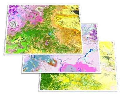
Kori covered the process, techniques, and tools for DIY data tinkering using examples from the Northern Rockies.
Resources - The following are useful LANDFIRE documents and tools.
Tutorials/Guides -
- Modifying LANDFIRE geospatial data for local applications
- Sawtooth fuel update tutorial
- LANDFIRE YouTube tutorials
Tools -
Feedback -
Other LANDFIRE links -
- LANDFIRE Home
- Follow on Twitter @nature_LANDFIRE
- LANDFIRE YouTube Channel
- Stay connected, join the LANDFIRE mailing list
Recording(s)
Presenter(s): Kori Blankenship
Event Details
Apr 19 2017, 12 - 1pm
Presenter(s): Kori Blankenship
Image